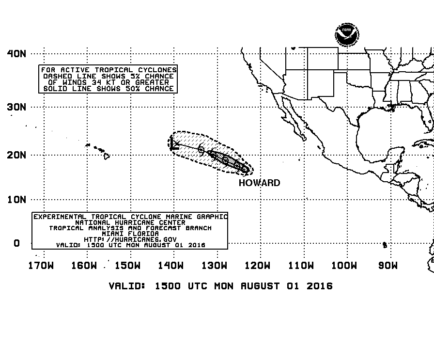
Wind Speed Probabilities-Based Tropical Cyclone Danger Area Graphic
Posted by cypresstx on 7/11/2016, 7:49 am
147
In this thread:
- Re: Wind Speed Probabilities-Based Tropical Cyclone Danger Area Graphic - Target, 7/11/2016, 10:04 am
- Re: Wind Speed Probabilities-Based Tropical Cyclone Danger Area Graphic - Chris in Tampa, 7/11/2016, 12:11 pm
- Re: Wind Speed Probabilities-Based Tropical Cyclone Danger Area Graphic - Shalista, 7/12/2016, 3:54 pm
- Re: Wind Speed Probabilities-Based Tropical Cyclone Danger Area Graphic - Chris in Tampa, 7/11/2016, 12:11 pm
Post A Reply
This thread has been archived and can no longer receive replies.