Re: 94E
Posted by
cypresstx on 6/9/2015, 2:11 pm
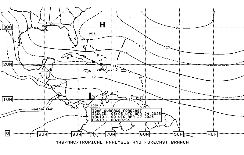
72-hr shows it moving sort of NNW, albeit in more mountainous terrain than if it crossed at the narrower part, south of there

getting "roll-y" down there...

might get heavy rains, even if nothing tropical forms ?
http://www.weather.com/news/news/tropical-update-atlantic-pacific-hurricane-season-20140513
GULF OF MEXICO/EASTERN PACIFIC
Development, in the eastern Pacific, into at least a tropical depression still likely, sloowly -- the disturbance is taking its time to organize, as the distribution of the blobs of thunderstorms on the satellite image is still broad and disorganized.
Regardless of ultimate wind strength, this system could bring heavy rain with a flood/mudslide threat to parts of Central America and southeast Mexico.
Some of that moisture will flow up across the Gulf of Mexico late this week into this weekend. Model differences continue as to whether a low pressure circulation will spin up in the southwest Gulf, while they continue to be consistent in predicting at least the moisture to reach the U.S. Gulf Coast and result in a wet pattern with heavy rain. |
80
In this thread:
94E -
cypresstx,
6/8/2015, 5:38 pm- Re: 94E - LawKat, 6/9/2015, 1:12 am
- Re: 94E - cypresstx, 6/9/2015, 2:11 pm
Post A Reply
This thread has been archived and can no longer receive replies.

